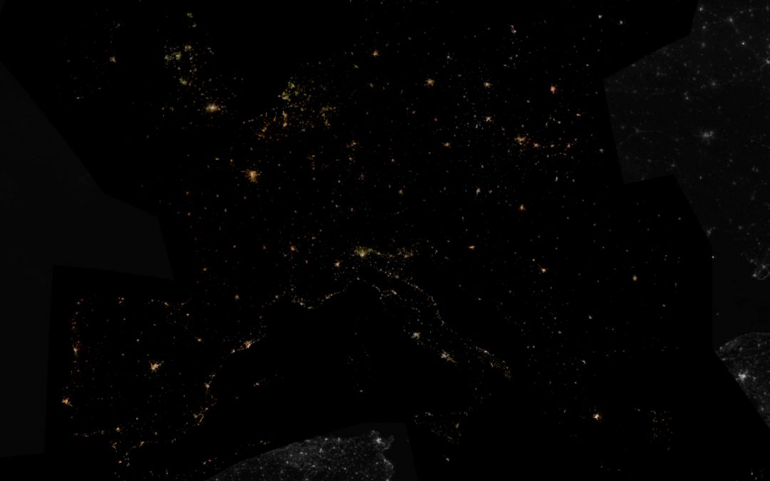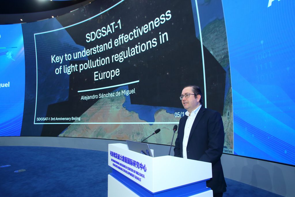
Our colleague Alejandro Sánchez de Miguel and his team have developed and released a new Light Pollution Map of Europe. This innovative resource provides an updated and highly precise perspective on light pollution levels across the continent. Developed using data from the SDGSAT-1 Satellite, the map offers an essential tool for researchers, policymakers, and environmentalists addressing light pollution issues.
Research Overview
The new map represents the first EU-wide night-time light pollution map created with data collected by SDGSAT-1 between 2021 and the present. This achievement is part of the RALAN (UNA4CAREER) project, led by the Complutense University of Madrid (UCM) under the direction of Jesús Gallego Maestro and Alejandro Sánchez de Miguel. The project falls under the activities of the GUAIX-UCM research group and is aligned with the objectives of the PLAN-B project, funded by the European Union’s Horizon Europe programme (Grant Agreement No. 101135308).
Accelerating Insights with Cities at Night Project
This map will also support the Cities at Night project, which uses night-time images taken by astronauts aboard the International Space Station to study urban light pollution. By aligning SDGSAT-1 data with these images, researchers can enhance their analyses, improving our understanding of artificial lighting’s effects on urban areas. This cross-referencing will accelerate the retrieval of critical data and contribute to urban sustainability research.
To help us to geo-reference that obtained data, please, participate in our citizen science activities through the Lost at Night App.
Scientific Impact on Biodiversity
Light pollution’s impact on biodiversity is one of the most pressing environmental concerns. This research provides detailed night-time imagery across Europe, enabling scientists to study:
- Disruption of migration patterns in birds and marine species.
- Interference with pollination cycles and predator-prey dynamics.
- Changes in nocturnal ecosystems, affecting species behaviour and survival.
The insights from this map will aid in crafting policies and regulations that aim to mitigate light pollution, protect biodiversity, and support sustainable development.
About the RALAN and PLAN-B Projects
Both projects leverage satellite big data to promote environmental sustainability and urban development.
- RALAN (UNA4CAREER): Funded under the Horizon 2020 Research and Innovation Programme (Marie Skłodowska-Curie grant agreement No. 847635).
- PLAN-B: Supported by the Horizon Europe programme, focusing on biodiversity and light pollution impacts.
International Recognition for Alejandro Sánchez de Miguel
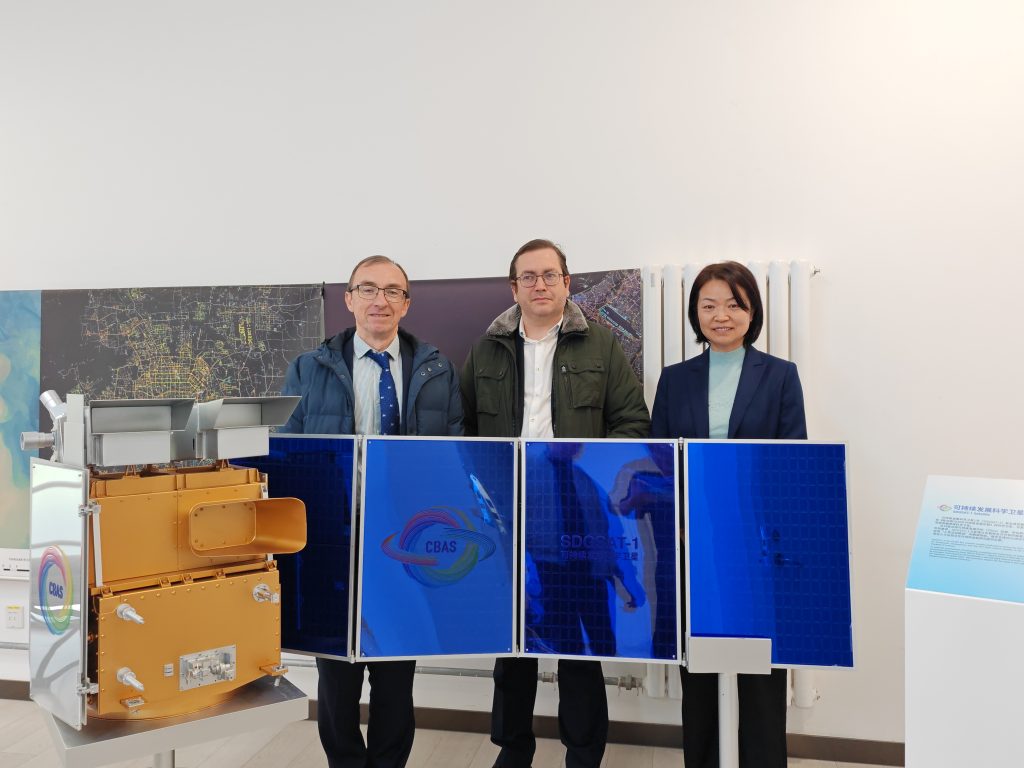
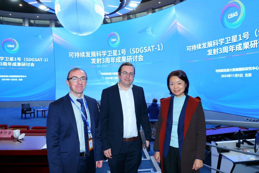
Alejandro Sánchez de Miguel has been recognised by the International Research Centre on Big Data for Sustainable Development (CBAS) in Beijing. During the third anniversary of the launch of SDGSAT-1, he received special recognition for his outstanding contributions to data applications of the satellite, furthering the Sustainable Development Goals (SDGs). This honour highlights the importance of his work in advancing the analysis and application of satellite data for sustainability.
Next steps
This new Light Pollution Map of Europe not only advances scientific understanding but also offers a powerful tool for policymakers and environmental advocates to combat light pollution. By bridging cutting-edge satellite data with real-world applications, this work supports global efforts toward sustainability and biodiversity conservation.
