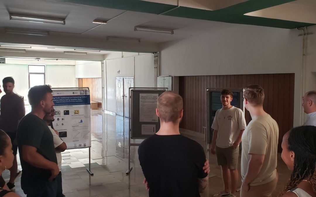
The PLAN-B project continues to expand its horizons and strengthen its international presence. Last week, our colleague Raúl represented the team at the 10th SPLIT REMOTE SENSING HANDS-ON PROFESSIONAL SUMMER SCHOOL, held in Split (Croatia), a leading event in the field of applied remote sensing.
During the summer school, Raúl presented his work titled “Automatic Georeferencing of Nighttime ISS Images for the Generation of Calibrated Maps to Address Light Pollution” in poster format, to an international audience of researchers and remote sensing experts.
His contribution represents a strategic advancement within the PLAN-B project, by proposing an automated methodology to georeference nighttime images captured from the International Space Station (ISS). This methodology combines orbital simulations, AI-based matching models, and geometric projections, with the aim of generating calibrated light pollution maps. These maps are key tools for assessing the impacts of artificial nighttime light on biodiversity and for supporting both ecological research and the development of public policies.
In addition to presenting the poster, Raúl actively participated in hands-on sessions on SAR, LiDAR, UAVs, ARTMO, and multiscale analysis, enhancing his technical skills and exchanging insights with a distinguished community of researchers from around the world.
The PLAN-B team celebrates this achievement, which demonstrates our commitment and excellence in developing innovative solutions to mitigate the effects of light and noise pollution on ecosystems.