
Bringing Science to the Streets of Zaragoza
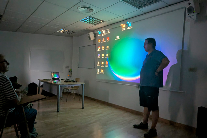
As part of PLAN-B’s ongoing mission to understand and mitigate the impacts of artificial light at night (ALAN) on terrestrial biodiversity, our Spanish pilot in Zaragoza recently reached an exciting milestone. In close collaboration with the Agrupación Astronómica Aragonesa (AAA)—one of the region’s most active amateur astronomy and dark-sky defense organizations—and led by the Ibercivis Foundation, we hosted a dedicated gathering to introduce the project, build local capacity, and launch hands-on citizen science activities.
Laying the Foundations of the Zaragoza Community of Practice (CoP)
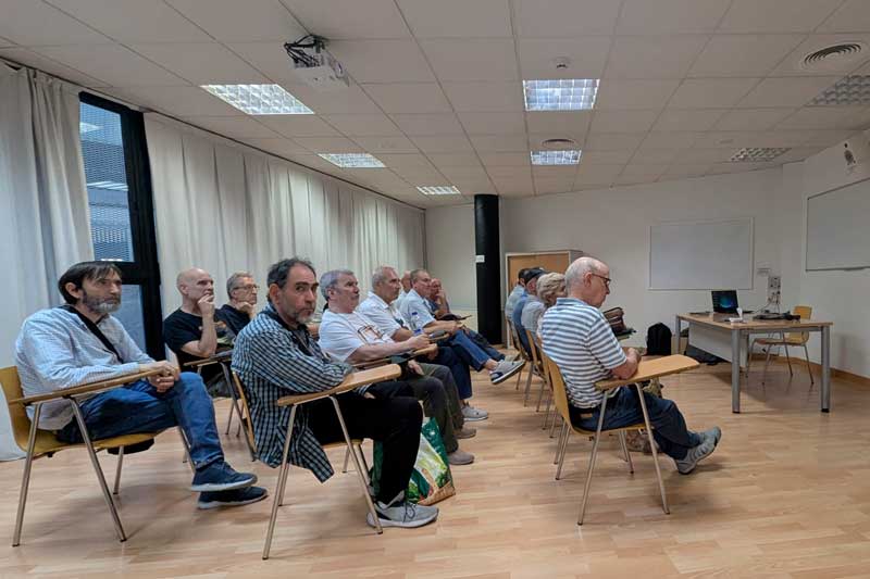
A core pillar of the PLAN-B project (under WP6) is the creation of local Communities of Practice (CoPs) across our four European pilot areas: Gdańsk, Leipzig, Belo Horizonte, and Zaragoza. These CoPs bring together a diverse “quadruple helix” of actors—local public authorities, researchers, naturalists, local business representatives, and enthusiastic citizens—who share a passion for protecting darker, quieter ecosystems.
The event was led by Francisco Sanz, director of Ibercivis and developer of the OpenRed data visualisation platform and the citizen science app Lost at Night, and by PLAN-B researcher Alejandro Sánchez de Miguel.
During the session with the Agrupación Astronómica Aragonesa, participants were introduced to the goals of PLAN-B, its open-access database, and upcoming policy instruments aimed at reducing light and noise pollution. This session formally established the Zaragoza Community of Practice, establishing a local network of micro-influencers and active contributors committed to monitoring environmental quality in urban and peri-urban spaces.
Equipping Citizens: Luxometers, Night Walks, and the OpenRed Platform
Science doesn’t just happen in laboratories—it happens in our neighborhoods! To turn local enthusiasm into actionable data, Ibercivis provided participants with calibrated luxometers and light meters.
Equipped with these devices, attendees are taking part in guided nighttime observation walks across Zaragoza. During these walks, citizens measure ambient light levels across different urban zones, parks, and natural corridors. The collected data is seamlessly uploaded to Ibercivis’s open-data platform, OpenRed, creating an accessible, community-mapped repository of light pollution in the city.
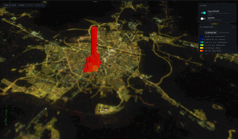
This ground-level data directly complements PLAN-B’s high-resolution satellite imagery and aerial mapping workflows, helping researchers identify “dark corridors” that need protection, as well as areas where excessive light spill threatens nocturnal wildlife and human well-being.
Since the start of the measurement activities, a total of 17000 measurements have been recorded, carried out by participants not only in Zaragoza, but also in the rest of Spain and in various European cities in Finland, Poland and Austria
Get Involved in the Zaragoza Pilot!
The Zaragoza Community of Practice is open to anyone who wants to contribute to a darker, more sustainable environment. Whether you are an astronomy enthusiast, a student, a local resident, or an environmental advocate, your participation makes a tangible difference.
- Want to join upcoming night walks in Zaragoza? Get in touch with the local team via Ibercivis (
dlisbona[at]ibercivis.es). - Interested in global mapping? You can also contribute right now from home using the Lost At Night application to help georeference astronaut photos taken from the International Space Station!
Stay tuned to the PLAN-B blog and social channels for updates, maps, and findings from our citizen scientists in Zaragoza and beyond!