The online event made it possible to georeference 2,500 control points in night-time images of Earth taken from the International Space Station.
The European project PLAN-B held an online workshop on 21 May dedicated to Lost At Night, the citizen science app that makes it possible to georeference night-time images of Earth captured by astronauts aboard the International Space Station. The session, organised online and open to the public, brought together around fifty participants interested in contributing to the study of light pollution from a collaborative perspective.
During the workshop, attendees were able to learn about the scientific value of night-time photographs taken from the ISS and the role played by human input in identifying reference points in the images. The session combined a scientific introduction by Alejandro Sánchez de Miguel with a technical explanation by Francisco Sanz, Director of Ibercivis and developer of the app, on how it works. After the talks, the workshop moved on to the practical part, in which participants worked directly with the tool.
The result was particularly positive: in just one session, participants managed to generate 2,500 georeferenced control points, reaching 80% of the collective target set for the workshop, which had initially been established at 3,000 points. These points are essential for correctly aligning night-time images with geographical coordinates and turning them into useful data for scientific research.
Lost At Night and the scientific value of images taken from the International Space Station
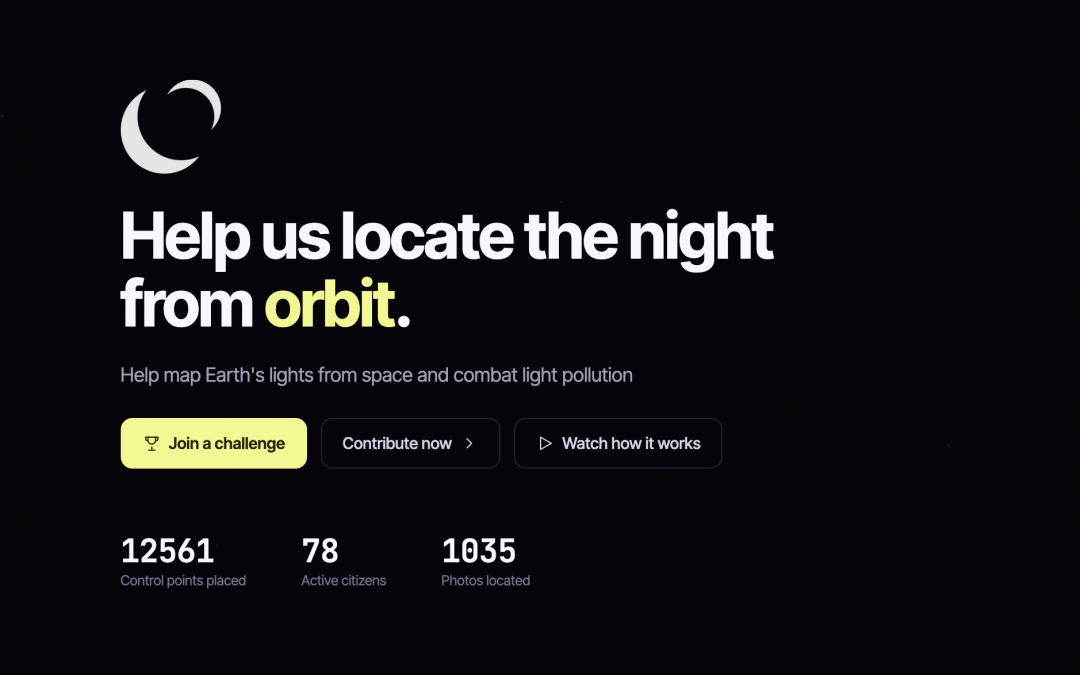
Lost At Night is designed to help create a global map of the Earth’s night-time lights, with the aim of measuring and monitoring light pollution. By linking space images to specific locations, the tool helps generate valuable environmental data to study the impact of artificial light at night on ecosystems, biodiversity and human health.
The initiative is part of the PLAN-B project, funded by the European Union through Horizon Europe, which works to address the impacts of light and noise pollution on terrestrial biodiversity and ecosystem systems. PLAN-B seeks to create new pathways for knowledge, regulation and social participation that help reduce these impacts in Europe.
In addition to strengthening the use of Lost At Night as a citizen science tool, the workshop helped reinforce the participation of scientific, educational and citizen communities in the study of the night from space. PLAN-B will continue to develop new challenges and participatory campaigns within the application, with the aim of expanding the available database and continuing to involve researchers, students, associations, activists and the general public in the fight against light pollution.
With this activity, Lost At Night demonstrates the potential of citizen collaboration to transform space images into useful scientific information. Each georeferenced point contributes to a better understanding of how we illuminate the planet at night and what effects this lighting may have on ecosystems. The workshop therefore marks another step in PLAN-B’s strategy to connect science, technology and social participation in response to one of the least visible, yet increasingly relevant, environmental challenges: light pollution.
Anyone can take part in Lost At Night by georeferencing points, joining the proposed challenges or suggesting new areas to work on. We encourage you to continue collaborating through the app to help achieve the best possible view of Earth’s night sky.