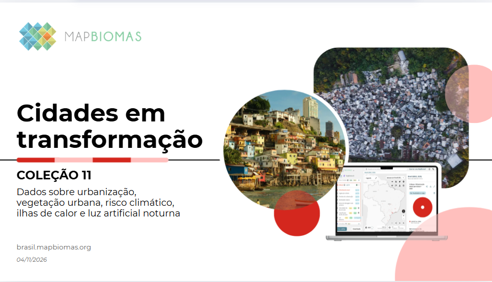
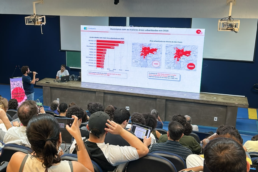
On November 4, the MapBiomas Network presented its latest findings from Collection 11 during the public event “Cities in Transformation: New MapBiomas Data on Urbanization and Climate Risk”, held at the Department of Geography at the University of São Paulo (USP). The newly released Urban and Climate Risk Modules provide an unprecedented historical view of urban growth, informal settlements (favelas), intra-urban vegetation loss, and the rapid expansion of Artificial Light at Night (ALAN) across Brazil.
As the PLAN-B project advances its research on sensory pollution (light and noise pollution) across four international pilot locations—including Belo Horizonte, Brazil—these macro-level spatial datasets provide vital context for understanding how urbanization pressures impact Neotropical biodiversity and ecosystem services.
Key Highlights from the MapBiomas Release
The new MapBiomas datasets highlight several critical spatial dynamics across Brazilian biomes:
- Favela Growth & Vulnerability: Between 1985 and 2025, urbanized area in favelas expanded by 152% (from 60,200 to 151,700 hectares), outpacing overall national urban expansion (132%).
- Landslide and Flood Susceptibility: In 2025, Brazil recorded 100,635 hectares of urban areas susceptible to landslides, with 71.7% in the very high susceptibility class. The Atlantic Forest (Mata Atlântica) concentrated the largest area in this extreme category (65,039 ha), while the state of Minas Gerais led nationally with 19,133 hectares at very high risk.
- Loss of Peri-Urban Vegetation: While intra-urban green patches doubled nationwide, peri-urban vegetation surrounding cities shrank by 38% (falling from 6.39 million to 3.95 million hectares).
- Accelerating Artificial Light at Night (ALAN): Satellite-detectable ALAN covered 6.3 million hectares in 2025—a 37% increase (+1.7 million hectares) since 2013. This illuminated surface grew 2.5 times faster than urbanized land expansion over the same period, with the highest light intensity category surging by 57%. The Mata Atlântica holds the largest lit area in the country (3.5 million hectares, representing 3.2% of the biome), while Minas Gerais saw one of the largest state-level expansions (+256,000 hectares).
- Urban Heat Islands: During summer, urban surface temperatures averaged 2.73 °C warmer than non-urban surroundings, reaching up to 5 °C higher in urban sectors with less than 10% vegetation cover.
Bridging MapBiomas Data with PLAN-B Objectives in Brazil
The findings presented at USP directly resonate with PLAN-B’s research agenda in South America, led by consortium partners at the Universidade Federal de Minas Gerais (UFMG) and the **Universidade do Estado de Minas Gerais (UEMG)**:
1. Targeting High-Risk Hotspots in Minas Gerais & Mata Atlântica
MapBiomas identifies Minas Gerais and the Atlantic Forest hotspot as national epicenters for both high climate vulnerability (landslide risk) and rapid ALAN expansion. PLAN-B’s pilot in Belo Horizonte focuses precisely on these urban-to-rural gradients to evaluate how expanding artificial illumination and traffic noise alter terrestrial wildlife behaviors, species abundance, and ecosystem resilience.
2. Protecting Degrading Peri-Urban Buffer Zones
As MapBiomas records a 38% decline in peri-urban vegetation, natural acoustic and visual buffers are disappearing. This loss allows artificial light and anthropogenic sound to penetrate deeper into natural habitats, disrupting nocturnal pollinators (such as moths and fireflies), songbirds, and mammalian fauna. PLAN-B is evaluating these combined sensory stressors to establish dark and quiet ecological corridors.
3. Combining Macro-Remote Sensing with Micro-Sensory Mapping
While MapBiomas maps broad land cover changes and satellite-detected skyglow at a regional scale, PLAN-B complements this macro-perspective by deploying street-level lux measurements, bioacoustic monitoring, species-aware hearing models, and high-resolution spatial proxies. This multi-scale approach ensures that urban lighting and noise policies respond to biologically relevant exposure levels.
4. Empowering Communities of Practice (CoPs)
MapBiomas emphasizes that public, open-access data achieves its true impact when adopted by civil society and municipal managers. Similarly, PLAN-B is establishing a local Community of Practice (CoP) in Belo Horizonte to connect scientists, urban planners, NGOs, and citizens, ensuring that data on environmental risks and sensory pollution translates into equitable, dark-, and quiet-sky urban governance.
Looking Forward
By integrating regional land-use metrics from MapBiomas with PLAN-B’s localized sensory pollution models, researchers and policymakers can better design sustainable cities that protect human well-being while safeguarding biodiversity.
🔗 Learn More:
- Explore the MapBiomas release report at brasil.mapbiomas.org.
- Discover PLAN-B’s research deliverables and pilot updates at plan-b-project.eu.