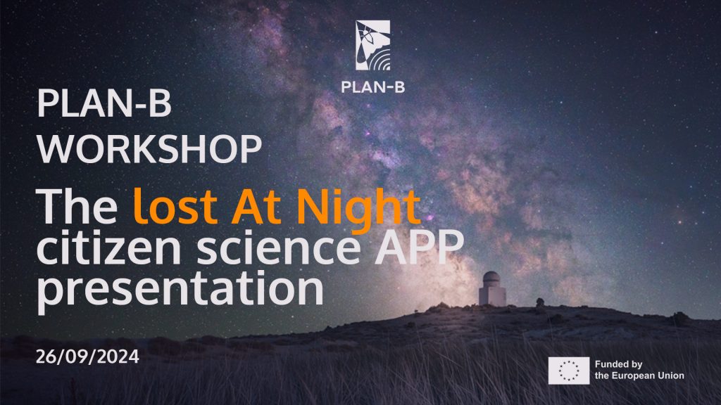
On September 26, 2024, over 50 attendees had the opportunity to test the first version of the Lost at Night application and share their initial impressions.
Lost at Night will be one of PLAN-B’s results for the analysis of light pollution in Europe, providing new evidence through the use of citizen science methodologies.
This online workshop aimed to introduce and launch the PLAN-B Citizen Science Application, designed to help measure artificial light at night (ALAN) and contribute valuable data to our light pollution map of Europe.
During the workshop, participants engaged in the first public beta testing of the application and provided initial feedback on its functionality and user experience. A clear explanation of the app’s features and how it operates was given, along with a discussion of the critical role participants play in our citizen science efforts to better understand and address light pollution.

Successful attendance at the workshop
The meeting was attended by 51 people, representing experts from the PLAN-B project, the AquaPLAN project, the Darker Sky project, the European Space Agency (ESA), light pollution experts and members of the PLAN-B stakeholder network
Workshop Notes
Yana Yakushina opened the meeting and introduced the project and speakers. Explained the agenda and the role of active participation of the attendees for the improvements of PLAN-B’s citizen science application.
Bill Green gave a talk on the role of street astronomy in raising awareness about light pollution, noting that over the past few years, they have reached more than 50,000 members of the general public. He emphasised the importance of light pollution research and expressed a strong willingness to assist in disseminating the citizen science application through the Brussels Lunatics and other street astronomy networks. This effort aims to increase public participation in the project and enhance the accuracy of Europe’s light pollution map.
Francisco Sanz presented the development process of the application, detailing the software and data utilised in its creation.
Alejandro Sanchez de Miguel presented a decade of work on developing an accurate light pollution map, emphasising the 10-year journey of the Cities at Night project. The creation of the map involved numerous projects, with the recent PLAN-B initiative playing a significant role in improving both the accuracy and visual quality of Europe’s light pollution map. After his talk, Alejandro explained how the application should be used and provided insights into its purpose, particularly the process of georeferencing ISS (International Space Station) images with real maps.
The beta testing and initial feedback from the audience were largely positive. However, some minor suggestions were made to improve the user experience of the application. The main recommendation was to provide more detailed video instructions on how to use the app. In response, the PLAN-B consortium agreed to develop a short video tutorial, which will soon be shared on PLAN-B’s website, as well as through the project’s newsletter and social media channels.
Alejandro Sanchez de Miguel gave a brief “sneak peek” of the PLAN-B light pollution map of Europe, which is not yet publicly available.
Video recording
The recording of the held workshop is publicly available and can be accessed here.
Further steps
The PLAN-B consortium will consolidate the feedback and comments received during the workshop to enhance the app and make it more user-friendly. Future steps include hosting a larger workshop in November to showcase the updated version of the app and publicly presenting the first draft of the light pollution map of Europe.
If you want to help us to improve the app you can test it here. Your feedback will be welcome, feel free ti reach us via email, newsletter, and social media (LinkedIn and X)

