
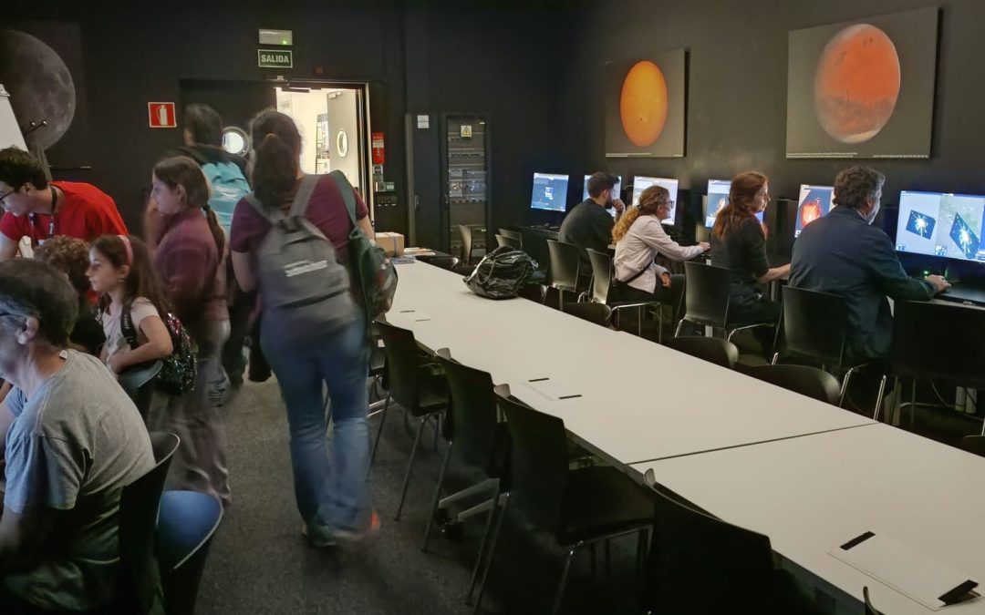
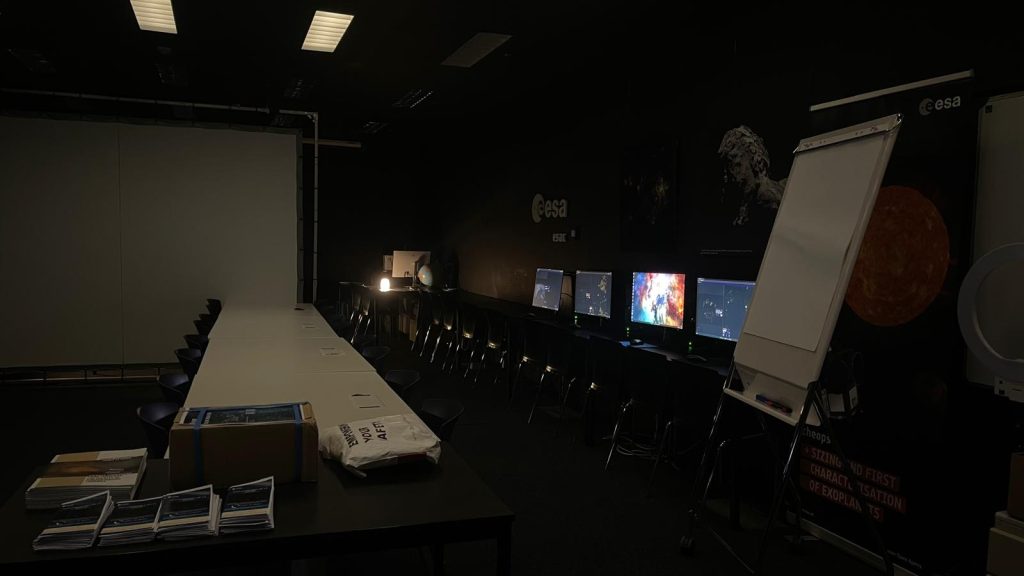
On October 3, ESA’s European Space Astronomy Centre (ESAC) in Villanueva de la Cañada (Spain) opened its doors with a programme guiding visitors alongside astronomers through the mysteries of black holes, exoplanets, and the edges of the universe. We brought something a bit more modest, yet very close to our hearts: ten computers, a dedicated room, and a task that anyone can take part in. The goal was to place nighttime photographs taken by astronauts from the International Space Station (ISS) onto a map.
The Problem: Beautiful Photos That Are Not Maps Yet
Astronauts aboard the ISS have been photographing Earth at night for over twenty years. While many of these images already have an approximate location, that is not sufficient for them to be utilized as scientific data. To turn them into research-grade data, they must be georeferenced: aligning each photo with its exact geographical coordinates so that every pixel corresponds to a specific point on the planet.
That is precisely what Lost at Night does: building a global map of Earth’s night lights with the help of volunteers to measure the impact of light pollution on ecosystems and human health. The project is funded by the European Union under the Horizon Europe programme as part of the PLAN-B initiative.
How a Photo is Georeferenced
The task is much simpler than it sounds. The screen is split in two: on the left, the nighttime photo from the ISS; on the right, a map. Volunteers look for recognizable features on both sides—such as a coastline, a highway, or an intersection—and mark the same point on both the photo and the map. Each pair of points is called a control point. At least three control points are required, with seven well-distributed points being ideal. The system then warps the photo to fit the map, allowing a preview of the result before submission.
A Packed Room All Morning
Throughout the morning, the computer room was constantly busy. People of all ages joined in, including many children who jumped into finding streets and coastlines with an ease that stumped more than one adult. Between mapping sessions, we showcased physical project models and introduced the app’s interactive game.
We also handed out educational units to visiting teachers, as well as a paper brochure designed by Verena from ESAC explaining how to participate via the app.
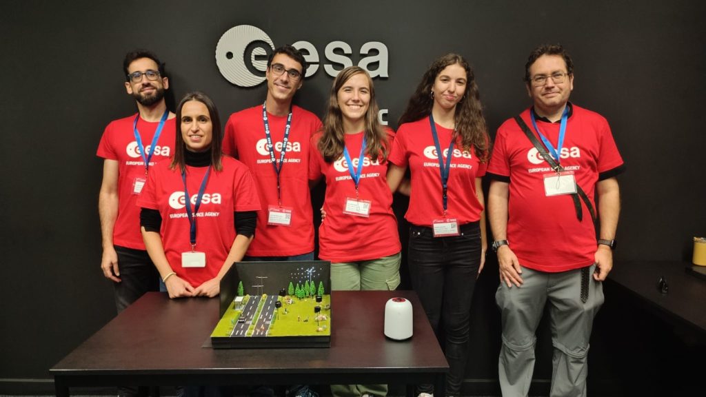
Six of us were on site to facilitate the activity: four volunteers from ASAAF, Verena, and the event coordinator. A huge thank you to everyone for their dedication during a long and rewarding day.
What the Data Tells Us
The results were impressive. The Open Day marked the most active single day since September, with around 150 tasks completed in one day—almost all by anonymous users, as expected for a public event. A surge was already visible in the days leading up to the event, which we attribute in part to volunteer training.
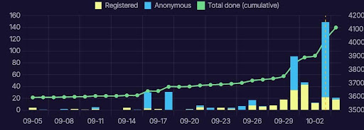
As of this writing, the project has accumulated over 32,000 control points, 1,818 georeferenced photos, and 4,237 of the 27,471 planned tasks completed (representing 15.4%). There is still plenty of work ahead.
Now It’s Your Turn!
You don’t need to be at ESAC to help. Visit lostatnight.org, click “participate,” and you will be assigned a random photo. If you prefer to see how it works first, a video tutorial and user manual are readily available on the platform. If you are a teacher interested in receiving our educational units, get in touch with us and we will happily send them your way.
A sincere thank you to ESAC for opening its doors to us, and to everyone who spent time mapping the night as seen from space.