by PLAN-B | May 22, 2026 | blog, clustering activities
The online event made it possible to georeference 2,500 control points in night-time images of Earth taken from the International Space Station. The European project PLAN-B held an online workshop on 21 May dedicated to Lost At Night, the citizen science app that...
by PLAN-B | May 5, 2026 | blog, clustering activities
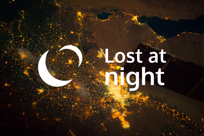
On 21 May at 12:00h (CET), PLAN-B will be hosting an online workshop of Lost at Night, the citizen science tool that enables the georeferencing of night-time images of Earth captured by astronauts aboard the International Space Station (ISS). This workshop will...