by PLAN-B | Sep 18, 2026 | blog
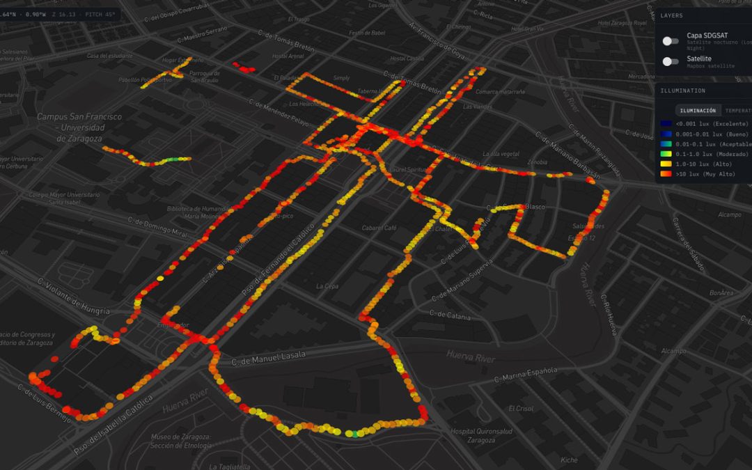
Artificial Light at Night (ALAN) is increasingly recognized as a pervasive environmental stressor that fragments nocturnal habitats, disrupts species behaviors, and alters terrestrial ecosystems across Europe. To understand where light pollution transitions from urban...
by PLAN-B | Aug 24, 2026 | blog, research
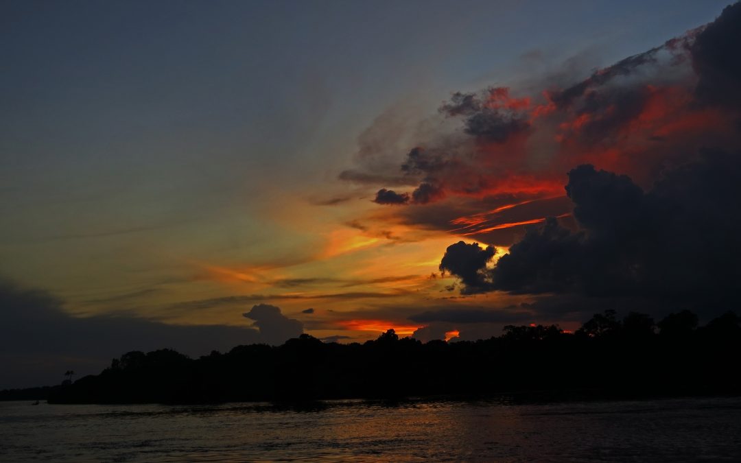
We are thrilled to share a major international milestone in the study and monitoring of light pollution. MapBiomas, a pioneering open and collaborative platform that transforms satellite data into long-term information on environmental and land-use changes, has...
by PLAN-B | Jun 16, 2026 | blog, clustering activities, PLAN-B Network
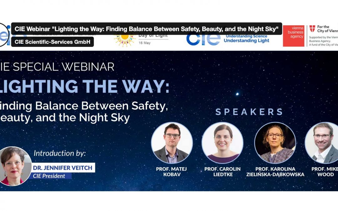
Our colleagues Karolina Zielińska-Dąbkowska (Gdansk Tech) and Mike Wood (Saldford Univesrity) shared the first and preliminary outcomes of our project work in the event that CIE hosted, a special webinar on 15 May 2026 entitled “Lighting the Way: Finding Balance...
by PLAN-B | May 22, 2026 | blog, clustering activities
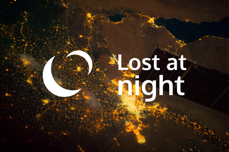
The online event made it possible to georeference 2,500 control points in night-time images of Earth taken from the International Space Station. The European project PLAN-B held an online workshop on 21 May dedicated to Lost At Night, the citizen science app that...
by PLAN-B | May 5, 2026 | blog, clustering activities
On 21 May at 12:00h (CET), PLAN-B will be hosting an online workshop of Lost at Night, the citizen science tool that enables the georeferencing of night-time images of Earth captured by astronauts aboard the International Space Station (ISS). This workshop will...